
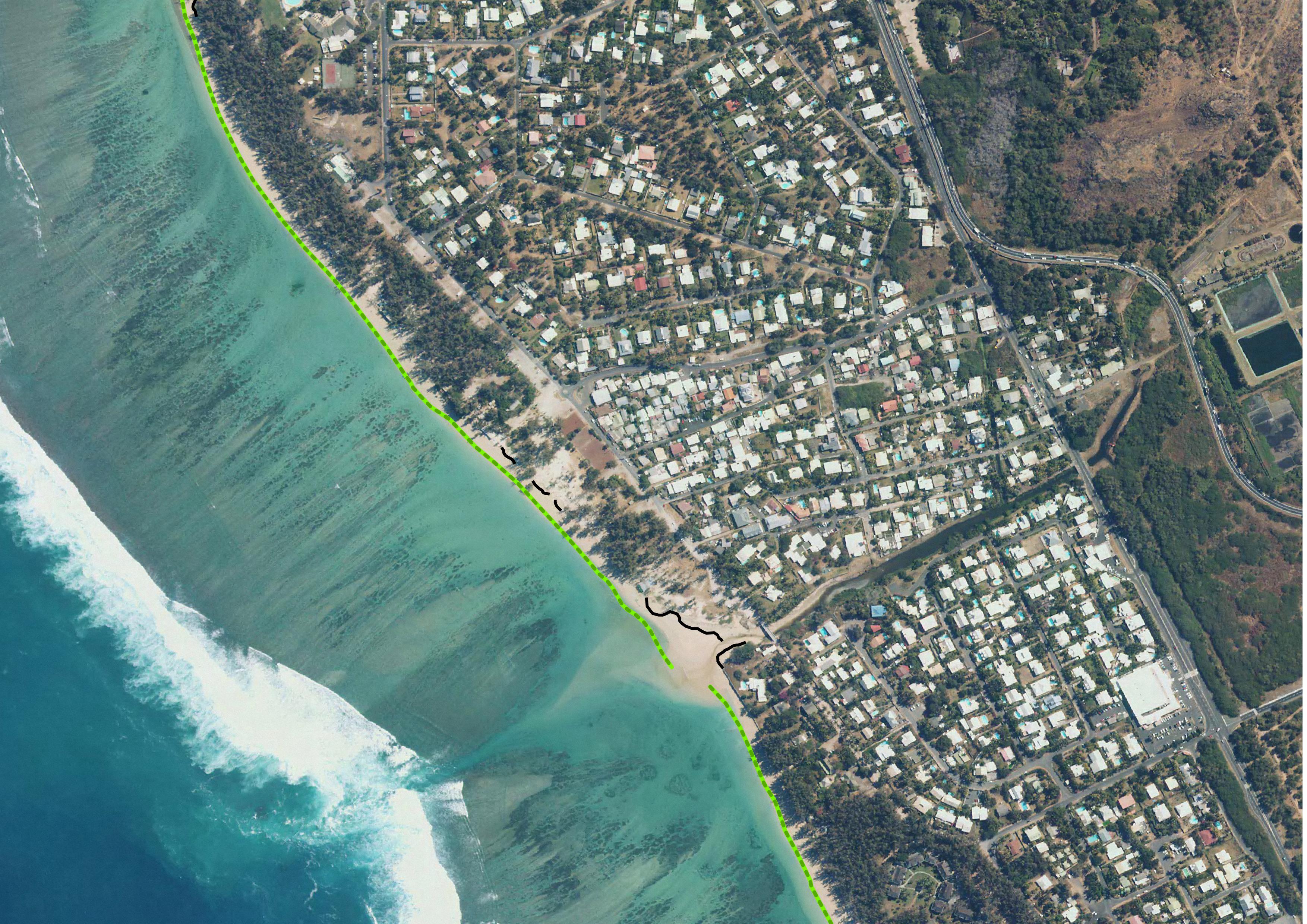
National Observation Service Dynalit, focuses on Coastline by satellite image
元数据标准的ISO19115是首选元数据标准使用。这个模板是多语种的默认语言设置为英语。其他语言可以用来翻译部分的元数据记录。主要语言是界定元一节。其他语言可以增加元数据节/地区因素。
Simple
- Date (Creation)
- 2012-01-01T00:00:00
- Presentation form
- Digital map
- Purpose
- Réaliser des profils topographiques de 39 plages de la Réunion
- Status
- Under development
- Point of contact
-
Organisation name Individual name Electronic mail address Role Espace-Dev
Gwenaëlle Pennober
Originator
- Maintenance and update frequency
- As needed
- Theme
-
-
Elevation
-
Reefal beach
-
Satellite image Pleiade
-
Dynalit
-
SNO "Traît de côte, aménagement des littoraux"
-
- Place
-
-
Indian Ocean
-
Reunion island
-
- Access constraints
- Restricted
- Use constraints
- Restricted
- Spatial representation type
- Vector
- Denominator
- 1
- Language
- English
- Character set
- UTF8
- Topic category
-
- Geoscientific information
- Elevation
- Begin date
- 2012
- End date
- en cours...
))
- Reference system identifier
- EPSG : 4326
- OnLine resource
-
Protocol Linkage Name WWW:LINK-1.0-http--link
https://geosur.osureunion.fr/thredds/catalog/stacot/tdcimagesat-saintgilles-reef/catalog.html TC Saint-Gilles Reef - images satellites THR
- Hierarchy level
- Dataset
Metadata
- File identifier
- 9174de46-a4c3-4c36-830c-8a5d5e97f141 XML
- Language
- English
- Character set
- UTF8
- Date stamp
- 2026-02-25T06:42:11.305567Z
- Metadata standard name
-
ISO 19115:2003/19139
- Metadata standard version
-
1.0
- Metadata author
-
Organisation name Individual name Electronic mail address Role UMS3365
Rémy Decoupes
Custodian Espace-Dev
Philippe Rouet
Custodian
- Locale
-
Language code Character encoding French German Chinese(Other) Arabic Spanish; Castilian Russian English UTF8
Citation proposal
Gwenaëlle Pennober.
National Observation Service Dynalit, focuses on Coastline by satellite image.
https://geosur.osureunion.fr/geonetwork/srv/api/records/9174de46-a4c3-4c36-830c-8a5d5e97f141

)))