 Geosur
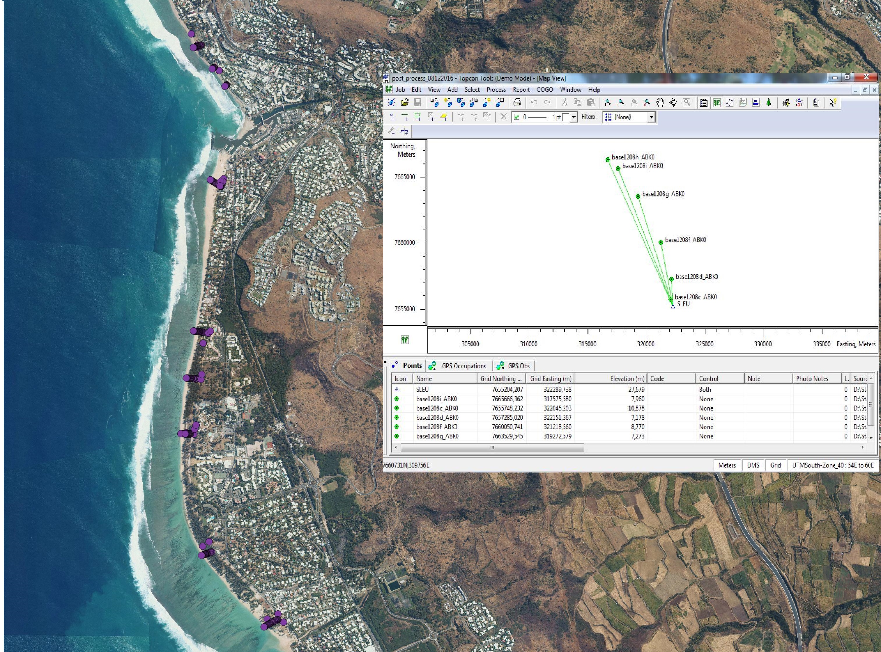
Total Station - Topographic beach profiles, Reunion island
The beach profile is a sectional representation of its topography. The beach topography and its dynamics (by beach profile or transect approach) is illustrated by the acquisition of altimetry data along a fixed profile. 42 profiles are regularly monitored on the reef coast of Reunion Island:
2 profiles per year before the swell seasons of summer and austral winter;
the impact of the events of strong swells (cyclones, southern swells) is systematically measured on the labeled Dynalit sites and more sporadically on the other sites.
The methodology deployed locally since 2012.
Simple
- Date (Creation)
- 2024-05-28T00:00:00
- Presentation form
- Digital map
- Purpose
- Réaliser des profils topographiques de 39 plages de la Réunion
- Status
- Under development
Originator
Espace-Dev
-
Gwenaëlle Pennober
(
Professor chaire mixte IRD / Université de la Réunion
)
15, avenue René Cassin
,
Saint-Denis
,
Université de la Réunion
,
97744
,
France
+262 262 29 93 15
- Maintenance and update frequency
- As needed
- Theme
-
- Elevation
- Reefal beach
- Topographic profile
- Dynalit
- SNO "Traît de côte, aménagement des littoraux"
- Place
-
- Indian Ocean
- Reunion island
- Access constraints
- Restricted
- Use constraints
- Restricted
- Spatial representation type
- Vector
- Denominator
- 1
- Metadata language
- English
- Character set
- UTF8
- Topic category
-
- Geoscientific information
- Elevation
- Begin date
- 2012
- End date
- en cours...
N
S
E
W
))
- Supplemental Information
- La station totale remplace le dgps là où le dgps ne peut plus le faire. Aujourd'hui on a donc 36 profil au DGPS et 6 a la station totale. Le total de profil mesuré est 42. A noter que cette bascule de mesure dgps a station totale est du à la progression du couvert végétal fait par les arbres sur la plage. Il évolue donc au court du temps (2 autres supplémentaires pourraient basculer de DGPS à station totale). Le timing de ces bascule : MNS : depuis 2021 HRE : depuis 2021 GOP : depuis 2021 ROD : depuis 2021 VVF : depuis 2023 ONF : depuis 2023
- Reference system identifier
- EPSG : 4326
- OnLine resource
- Total Station - Reunion Island ( WWW:DOWNLOAD-1.0-http--download )
- Hierarchy level
- Dataset
- File identifier
- 02c45ddb-7a1e-4b0a-bff5-c956361d45c1 XML
- Metadata language
- English
- Character set
- UTF8
- Date stamp
- 2024-05-29T06:35:43
- Metadata standard name
- ISO 19115:2003/19139
- Metadata standard version
- 1.0
Processor
OSU-Réunion, UAR3365
-
Pierre Stamenoff
(
Scientific instrumentation & experimental techniques technician
)
15, avenue René Cassin
,
Saint-Denis
,
Université de la Réunion
,
97744
,
France
+262 692 20 30 44
Processor
OSU-Réunion, UAR3365
-
Yoan Benoit
(
Scientific instrumentation & experimental techniques technician
)
15, avenue René Cassin
,
Saint-Denis
,
Université de la Réunion
,
97744
,
France
+262 692 20 30 44
Overviews

photo_metadata.jpg
Spatial extent
N
S
E
W
Provided by

Associated resources
Not available