Environmental monitoring facilities
Type of resources
Available actions
Topics
INSPIRE themes
Keywords
Contact for the resource
Provided by
Years
Formats
Representation types
Update frequencies
status
Scale
-
Honga Tonga Aerosols measurments from lidars at Maïdo observatory, Reunion Island (21.08°S, 55.38°E)
To do
-
Since 2012, 3 lidars from the Atmospheric Physics Observatory of La Réunion (OPAR) have been performing aerosol profile measurements at the Maïdo observatory site, located at 2160 meters to the west of the island of La Réunion. These profiles are obtained at several wavelengths, 355nm and 532nm, and there are also depolarized channels at 532nm. The data from these 3 lidars are processed in two stages: initially, the data are manually cleaned of disturbed profiles, either by atmospheric effects, such as the passage of clouds, or by electronic effects like noise. They are then summed over the night. This is the L1b level, and the data are available in the Matlab format (.mat). Subsequently, the data are processed to convert from a profile of received photon number to a profile of aerosol extinction and scattering. The methodology used is based on the Klett calculation at one wavelength. This is the L2b level, and the data are available in the NetCDF format (.nc) with the NDACC convention in the choice of variable names. Therefore, the data are distributed across 6 directories, 2 levels of processing for each lidar. The raw data from the instrument (called L0) are in a proprietary format, the Licel format, and are not accessible in open access, only via FTP with restricted access.
-

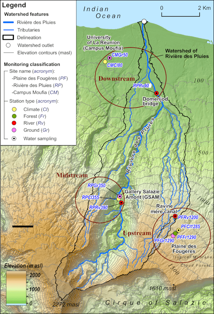
The station is managed by the Observatoire de la Zone Critique de la Réunion (OZC-R) from Observatoire des Sciences de l'Univers de La Réunion (OSU-Réunion, Université de La Réunion), and located at 80m asl at the Reunion University. Rainwater is monthly collected (PALMEX rain collector) for δ18O and δ2H water isotopes analysis from 2001. Analyses are carried out at the International Atomic Energy Agency as part of the global network for measuring isotopes in precipitation (GNIP-IAEA).
-

The station is managed by the Observatoire de la Zone Critique de la Réunion (OZC-R) from Observatoire des Sciences de l'Univers de La Réunion (OSU-Réunion, Université de La Réunion). This is a forest station located at 1285m asl in the Reunion National Park. Rainwater is monthly collected (PALMEX rain collector) for δ18O and δ2H water isotopes analysis from 2016. Analyses are carried out at the Institut de Physique du Globe in Paris (PARI analytical platform) and within the IR-OZCAR network. The major ions rainfall composition is also studied. The station also measures several meteorological variables outside the canopy (precipitation, atmospheric pressure, temperature, relative humidity, global and photosynthetically active radiation) but also humidity linked to clouds and fog, as well as ground temperature.
-

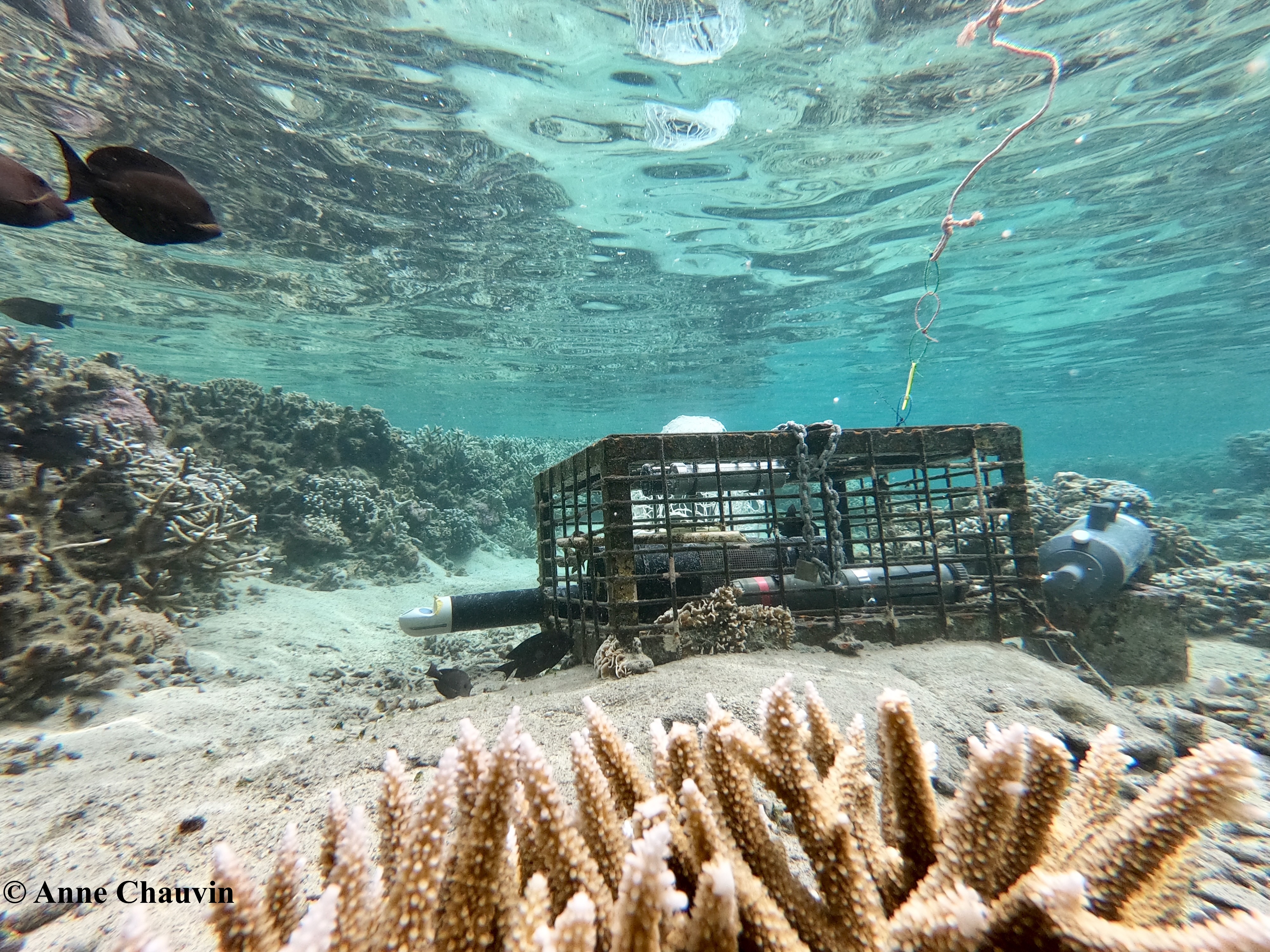
To estimate organic carbon (photosynthesis-respiration) and calcium carbonate (calcification-dissolution) budgets on La Saline fringing reef, measurements of light, temperature, salinity, current and water chemistry (dissolved oxygen, pH, total alkalinity) were carried out at 5 sites (Toboggan, Livingstone, Trou d'Eau, Bodega and on the reef slope) over 5 periods (February-March 2020, October 2020, April 2021, October 2021 and June 2022). These data were used to characterize the natural spatio-temporal variability of seawater chemistry and to identify the influence of local factors on this variability. They also provided an opportunity to study the feasibility of a one-dimensional Eulerian approach of the flow respirometry method on La Saline fringing reef for estimating organic carbon and calcium carbonate budgets, and to calculate these budgets for two sectors (Toboggan and Trou d'Eau/Bodega).
 Geosur