Oceans
Type of resources
Available actions
Topics
Keywords
Contact for the resource
Provided by
Years
Formats
Representation types
Update frequencies
status
Scale
-

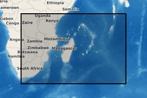
WW3 model reanalysis on SWIO (south-western indian ocean) area at 0.5 degree of resolution
-

ReefTEMPS is a network created by the IRD, initially covering some twenty territories and island states in the South, South-West and West Pacific. ReefTEMPS-OI is the Indian Ocean version. The network uses temperature, pressure, salinity and other coastal observables to monitor climate change and its effects on coral reefs and their resources over the long term. ReefTEMPS is part of the French national federative Research Infrastructure for coastal ocean and seashore observations named IR I-LICO, accredited as a National Observation Service (SNO) by the CNRS-INSU Ocean-Atmosphere Commission. ReefTEMPS is operated by ENTROPIE since 2019. Previously, it was created and led by GOPS (a consortium of research observatories in the South Pacific) during the period 2010-2017, then coordinated by UMR LEGOS in 2018. ReefTEMPS-OI, its Indian Ocean version, is operated by OSU-Réunion since 2020.
 Geosur