 Geosur
DGPS - Topographic beach profiles, Reunion island
DGPS - Profils de plages -Ile de la Réunion
Vorlage für die Vektor-Daten in ISO19139 (mehrsprachig)
模板矢量数据ISO19139(多种语言)
نموذج البيانات الموجهة في ISO19139 (متعددة اللغات)
De plantilla para el vector de datos en ISO19139 (multilingüe)
Шаблон для векторных данных в ISO19139 (многоязычное)
The beach profile is a sectional representation of its topography. The beach topography and its dynamics (by beach profile or transect approach) is illustrated by the acquisition of altimetry data along a fixed profile. 22 profiles are regularly monitored on the reef coast of Reunion Island:
2 profiles per year before the swell seasons of summer and austral winter;
the impact of the events of strong swells (cyclones, southern swells) is systematically measured on the labeled Dynalit sites and more sporadically on the other sites.
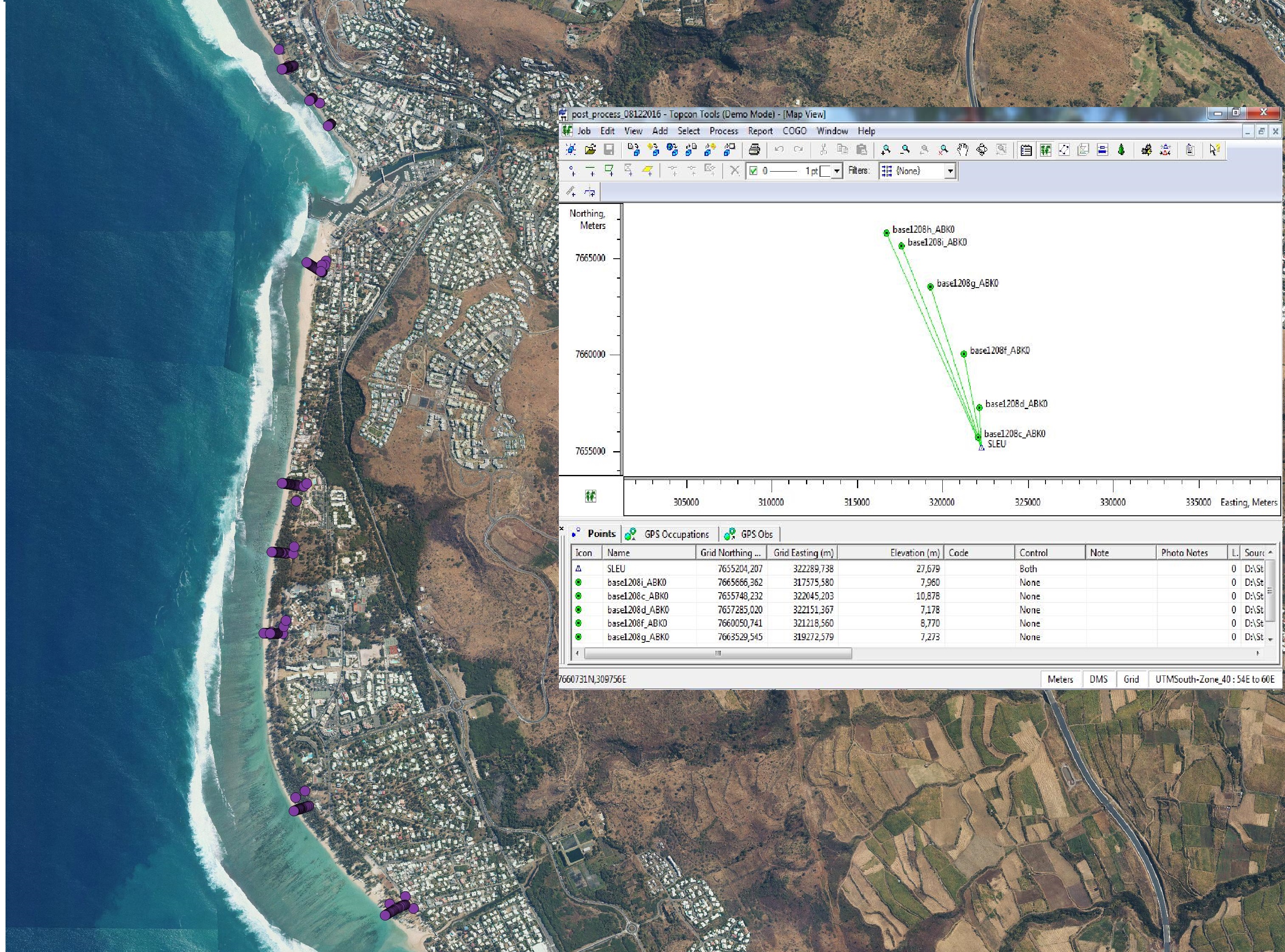
The methodology deployed locally since 2012 involves two Topcon Hiper II receivers (base and mobile) and one Topcon FC-250 controller (field notebook).
Le profil de plage est une représentation en coupe figurant sa topographie. L’approche par profil de plage ou transect de la topographie d’une plage et de sa dynamique s’illustre par l’acquisition de données altimétriques le long d’un profil fixe. 22 profils sont régulièrement suivis sur le littoral récifal de l’île de La Réunion :
2 profils par an encadrant les saisons de houle de l’été et de l’hiver austral ;
l’impact des évènements de fortes houles (cyclones, houles australes) est mesuré systématiquement sur les sites SNO et plus sporadiquement sur les autres sites.
La méthodologie déployée localement depuis 2012 mobilise 2 récepteurs Topcon Hiper II (base et mobile) et un contrôleur Topcon FC-250 (carnet de terrain).
Simple
-
Date (Création)Datum (Erstellung)Date (Creation)Date (Creation)Fecha (Creación)Дата (создания)Date (Creation)
- 2012-01-01T00:00:00
-
Forme de la présentationPräsentationsformPresentation formPresentation formFormulario de presentaciónФорма представленияPresentation form
-
Carte numériqueDigitale KarteDigital mapDigital mapMapa digitalцифровая картаDigital map
-
ButZweckPurposePurposePropósitoНазначение набора данныхPurpose
- Réaliser des profils topographiques de 39 plages de la Réunion
-
EtatBearbeitungsstatusStatusStatusEstadoСтатусStatus
-
En cours de créationIn ErstellungUnder developmentUnder developmentBajo desarrolloв разработкеUnder development
-
Fréquence de mise à jourÜberarbeitungsintervallMaintenance and update frequencyMaintenance and update frequencyMantenimiento y frecuencia de actualizaciónЧастота обновленияMaintenance and update frequency
-
Lorsque nécessaireBei BedarfAs neededAs neededA discreciónпо необходимостиAs needed
-
ThèmeThemaThemeThemeTemaпредметTheme
-
-
ElevationAltitude
-
Reefal beachPlage récifal
-
Topographic profileProfil topographique
-
DynalitDynalit
-
SNO "Traît de côte, aménagement des littoraux"SNO "Traît de côte, aménagement des littoraux"
-
-
LocalisationOrtPlacePlaceLugarместоPlace
-
-
Indian OceanOcéan Indien
-
Reunion islandIle de la Réunion
-
-
Contraintes d'accèsZugriffseinschränkungenAccess constraintsAccess constraintsRestricciones de AccesoОграничения на получениеAccess constraints
-
RestreintBeschränkter ZugangRestrictedRestrictedRestrictedограничения раскрытия информацииRestricted
-
Contraintes d'utilisationNutzungseinschränkungenUse constraintsUse constraintsRestricciones de usoОграничения на использованиеUse constraints
-
RestreintBeschränkter ZugangRestrictedRestrictedRestrictedограничения раскрытия информацииRestricted
-
Type de représentation spatialeRäumliche DarstellungsartSpatial representation typeSpatial representation typeTipo de representación espacialТип пространственного представленияSpatial representation type
-
VecteurVektorVectorVectorVectorвекторVector
-
Dénominateur de l'échelleMassstabszahlDenominatorDenominatorDenominadorЗнаменатель масштабаDenominator
- 1
-
LangueSpracheLanguageLanguageIdioma del metadatoЯзыкMetadata language
- English
-
Jeu de caractèresZeichensatzCharacter setCharacter setCodificaciónКодировкаCharacter set
-
Utf8Utf8UTF8UTF8UTF8utf8UTF8
-
Catégorie ISOThematikTopic categoryTopic categoryCategoría temáticaПредметная областьTopic category
-
-
Informations géoscientifiquesGeowissenschaftenGeoscientific informationGeoscientific informationInformación geocientíficaДанные наук о ЗемлеGeoscientific information
-
AltitudeHöhenangabenElevationElevationElevaciónРельефElevation
-
- Begin date
- 2012
- End date
- en cours...
))
-
Nom du système de référenceIdentifikator des ReferenzsystemsReference system identifierReference system identifierIdentificador del Sistema de ReferenciaReference system identifierReference system identifier
-
EPSG : 4326IGNF : RGR92UTM40S
-
Ressource en ligneOnlineOnLine resourceOnLine resourceRecurso en líneaОнлайновый ресурсOnLine resource
-
DGPS DGPS
(
WWW:LINK-1.0-http--link
)
DGPS corrected by BD ortho®DGPS corrected by BD ortho®
-
NiveauBezugsebeneHierarchy levelHierarchy levelJerarquíaИерархический уровеньHierarchy level
-
Jeu de donnéesDatenbestandDatasetDatasetConjunto de datosнабор данныхDataset
-
Statement
-
Données brutes DGPS TOPCON, Fichier rinex (enregistrement des signaux satelites), (format standard)
-
Identifiant de la ficheMetadatensatzidentifikatorFile identifierFile identifierIdentificador del ficheroИдентификатор файлаFile identifier
- d07f6653-8f82-4c78-ba8e-8f0e430f2aa4 XML
-
LangueSpracheLanguageLanguageIdioma del metadatoЯзыкMetadata language
- English
-
Jeu de caractèresZeichensatzCharacter setCharacter setCodificaciónКодировкаCharacter set
-
Utf8Utf8UTF8UTF8UTF8utf8UTF8
-
Date des métadonnéesDatumDate stampDate stampFechaВремя создания метаданныхDate stamp
- 2022-09-21T11:44:48
- Metadata standard name
- ISO 19115:2003/19139
- Metadata standard version
- 1.0
Overviews

Spatial extent
Provided by