
DGPS - Topographic beach profiles, Reunion island
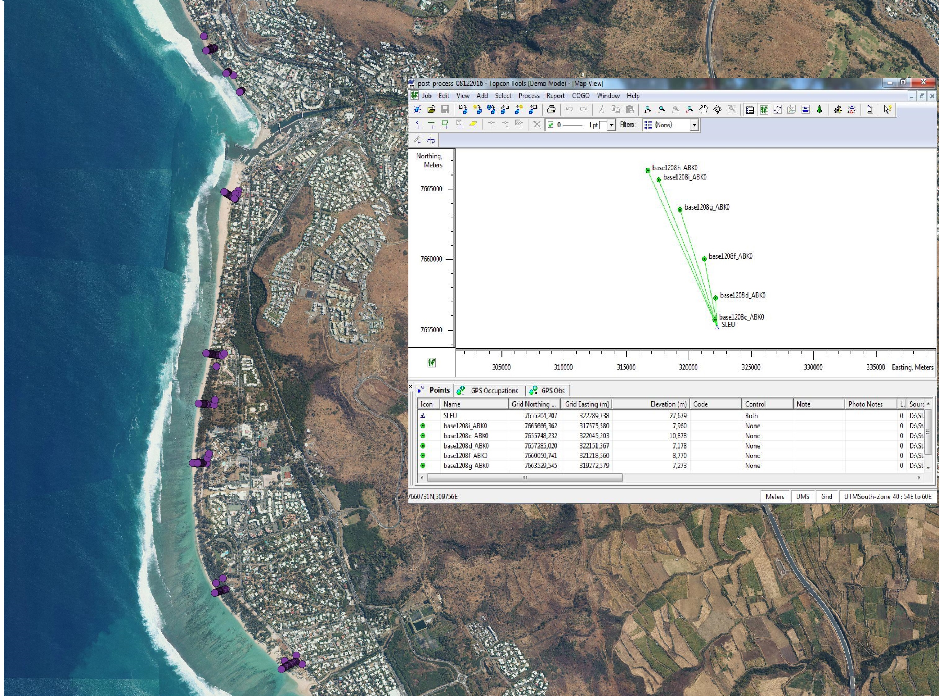
The beach profile is a sectional representation of its topography. The beach topography and its dynamics (by beach profile or transect approach) is illustrated by the acquisition of altimetry data along a fixed profile. 22 profiles are regularly monitored on the reef coast of Reunion Island:
2 profiles per year before the swell seasons of summer and austral winter;
the impact of the events of strong swells (cyclones, southern swells) is systematically measured on the labeled Dynalit sites and more sporadically on the other sites.
The methodology deployed locally since 2012 involves two Topcon Hiper II receivers (base and mobile) and one Topcon FC-250 controller (field notebook).
Simple
- Date (Creation)
- 2012-01-01T00:00:00
- Presentation form
- Digital map
- Purpose
- Réaliser des profils topographiques de 39 plages de la Réunion
- Status
- Under development
- Point of contact
-
Organisation name Individual name Electronic mail address Role Espace-Dev
Gwenaëlle Pennober
Originator
- Maintenance and update frequency
- As needed
- Metadata author
-
Organisation name Individual name Electronic mail address Role Espace-Dev
Myriam Mahabot
Originator
- Theme
-
-
Elevation
-
Reefal beach
-
Topographic profile
-
Dynalit
-
SNO "Traît de côte, aménagement des littoraux"
-
- Place
-
-
Indian Ocean
-
Reunion island
-
- Access constraints
- Restricted
- Use constraints
- Restricted
- Spatial representation type
- Vector
- Denominator
- 1
- Language
- English
- Character set
- UTF8
- Topic category
-
- Geoscientific information
- Elevation
- Begin date
- 2012
- End date
- en cours...
))
- Reference system identifier
- EPSG : 4326
- OnLine resource
- Hierarchy level
- Dataset
- Statement
-
Données brutes DGPS TOPCON, Fichier rinex (enregistrement des signaux satelites), (format standard)
Metadata
- File identifier
- d07f6653-8f82-4c78-ba8e-8f0e430f2aa4 XML
- Metadata language
- English
- Character set
- UTF8
- Date stamp
- 2026-02-25T06:47:20.655166Z
- Metadata standard name
-
ISO 19115:2003/19139
- Metadata standard version
-
1.0
- Metadata author
-
Organisation name Individual name Electronic mail address Role UMS3365
Rémy Decoupes
Custodian UMS3365
Pierre Stamenoff
Processor UMS3365
Yoan Benoit
Processor
- Other language
-
Language Character encoding French German Chinese(Other) Arabic Spanish; Castilian Russian English UTF8
Citation proposal
Gwenaëlle Pennober (Espace-Dev).
DGPS - Topographic beach profiles, Reunion island [Jeu de données].
https://geosur.osureunion.fr/geonetwork/srv/api/records/d07f6653-8f82-4c78-ba8e-8f0e430f2aa4

)))